
Drones helping beat black-grass
As featured in Arable Farming Magazine
Drones helping beat black-grass
by Arable Farming Magazine February issue
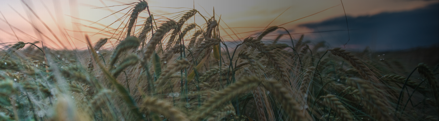
For many arable farmers, black-grass control is an endless challenge. One Gloucestershire farmer is utilising drone technology to manage the problem.
Based near Winchcombe, H.A.Day and Sons farms around 800 hectares across a wide range of soil types including Cotswold brash and heavy Evesham clays.
The diverse business focuses on growing combinable cereals and cider fruit alongside a large grain processing and handling facility.
Historic farming practices had created a significant black-grass problem across the 650ha of arable crops grown by the business which were steadily getting worse.
Out of control
Following a career in motorsport engineering, James Wilson returned to the farm for harvest 2015 to help run the business alongside his two cousins.
At that time the black-grass problem was getting out of control.
Mr Wilson says: A lot of our efforts have been towards tackling black-grass.
The standout moment for me was harvest 2016 which was particularly bad for black-grass, with our milling first wheat crop, some of which only yielded about 3.5 tonnes/ha where obviously we should be at nine-10t on our heavy clay soils.
The rotation at the time was predominately winter wheat and oilseed rape established following deep inversion with a single pass cultivator and press pulled by a Case IH Quadtrac.
We had a big Sumo cultivator followed with a separate pass with a Simba Cultipress.
The legs were set at eight or 10 inches and we were stirring the soil up over this whole depth.
As far as black-grass control was concerned, we werent getting anywhere, simply burying some seed and bringing up a huge amount from previous years, says Mr Wilson.
Initially changes to cropping with the introduction of spring wheats to replace second winter wheats and establishment of cover cropping, with sheep grazing where possible, did have an effect on reducing the problem, alongside the sale of the heavy cultivation machinery in favour of single-pass establishment with a disc drill.
While this was working well across most of the farm, it was not achieving enough control to stop significant infestations in the spring, in some fields.
Benefiting from his background in engineering, Mr Wilson took a different approach to the weed burden, looking to use technology to selectively spray the black-grass in a growing cereal crop to kill it off before the seed has formed.
Prior to investing in drone technology the business had upgraded its Househam sprayer to include Altek individual nozzle control, allowing each nozzle body to be switched on and off independently using control from the GPS guidance system.
Initially this offered advances in application precision but also allowed the potential of targeted glyphosate application using maps loaded into the spray controller.
Through an online forum, Mr Wilson found details of the KORE software supplied by SoilEssentials.
The software was tailored to fit his requirements and operates with a DJI Phanton 4 Pro Drone.
The drone is flown above the target field while following an automated flight plan and is used to take the multiple high-definition images of the target fields.
The images are digitally stitched together into a mosaic of pictures covering the entire field with the processing carried out using the KORE software.
Effectively creating an up-to date and high resolution satellite image, overlaid on Google maps.
Target
Mr Wilson then analyses the images and draws on the areas to target with a total herbicide; either areas of black-grass or poor, thin crops which would allow weed population to flourish.
An example from our 2020 rotation was a winter wheat crop sown into a heavy clay field covering 5.5ha.
The ground lay so wet for so long over winter that come spring there was huge variability in the establishment of the wheat with bare patches and thin patches alongside some very good areas of crop, he says.
With a situation of varied crop establishment and weed populations, blanket spraying areas of the field which appeared to carry the greatest weed population was not really an option as large areas could be easily missed.
This was where the drone images and software made a real difference as we had ability to freehand draw the irregularly shaped target areas onto the map which was then uploaded to the sprayer control box.
Without this technology it would have been a case of either spraying the whole field off and accepting a total loss, or persevering with the crop and dealing with all the extra black-grass seed added into the soil for the next however many years, he says.
Glyphosate
Using the KORE mapping software they have been able to achieve the best of both worlds by targeting black-grass with glyphosate and preserving the well-established wheat.
In this particular example they saved 66% of the crop and by flipping the digital area they created a second map of salvageable wheat.
This allowed them to prevent any further inputs of sprays or liquid fertiliser on the black-grass patches which had already been killed off.
I believe this is real sustainable farming in action.
We are lowering our carbon footprint through targeting inputs and black-grass control strategies thanks to the precision technology we now deploy, he says.
With the use of the two target maps, Mr Wilson was able to justify the costs of the drone and software from the income generated from the remaining 3.63ha wheat crop in the 5.5ha field.
Previously, this crop would have to have been totally removed, or resulted in a much lower yield and added more to the existing black-grass seed bank.
Once the process was established it became quite quick to map and mark up a field, however Mr Wilson concedes it will only be used in high infestation target areas and it will not be necessary to expand the mapping across the total farmed area, due to the time required to collect and process all the data for minimal gain.
Drone mapping is only part of our black-grass management strategy and is a very valuable tool in our arsenal.
However, combined with reduced tillage and an improved, more diverse rotation we have made major steps in improving the long term sustainability of our cereal cropping, he adds.